By Mary Drew at Pasty Central (Mdrew) on Thursday, June 3, 2021 - 10:49 pm:
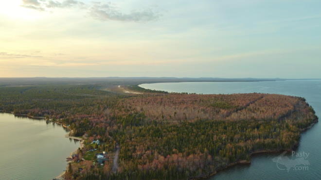
This young man has some serious drone flying skills...Walter Dennis takes us on another flight, this time in the Little Traverse Bay, Lake Superior and surrounding areas. His Dad, Jeff, supplied the information about the locations, so between Walter and Jeff, they pretty much did my job today. Thanks guys!
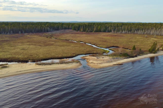
The first photo shows Mud Lake Creek that runs along the shoreline to the left and Giles Creek in the middle, runs toward Rice Lake.
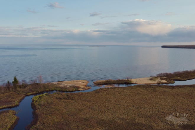
Next is a view looking out at Traverse (Rabbit) Island. You can just see it in the distance to the left of the point of land there.
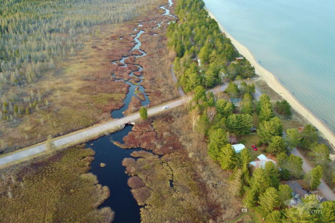
Third photo is a view of the Little Traverse road, with what Jeff called the “troubled bridge”. He said it is scheduled to be replaced. Nice view of the winding creek behind the camps there, too.
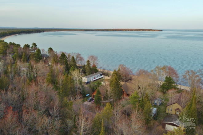
Fourth in the line-up is a shot looking out toward Louis Point. This is also just above their family camp, along with a number of other places on the Big Lake.
Final stop is a neat capture, showing us where everything is located in relation to each other. That’s Louis Point, with Little Traverse on the left and Big Traverse on the right.
Walter’s video of the area will conclude your geography lesson of the shoreline of Lake Superior in the Keweenaw, from Big Traverse to Little Traverse. Fun tour, so just sit back and enjoy the flight!
By Alex "UP-Goldwinger" (Alex) on Friday, June 4, 2021 - 10:56 am:
Absolutely superb video...the music and the time-
of-day were excellent! 2 things I ponder though;
How did the drone stay up that long, are the
batteries that strong now? And how did Walter
follow the drone for that length of distance, boat
perhaps?
By Donna (Donna) on Friday, June 4, 2021 - 05:25 pm:
That is just so beautiful!
By jbuck (Jbuck) on Saturday, June 5, 2021 - 12:23 pm:
Sit back and enjoy is right! Great drone work and a beautiful tour between the pictures and the vid! Thanks Walter!
