By Mary Drew at Pasty Central (Mdrew) on Monday, July 24, 2023 - 06:38 am:
Cindy Conway & Mike Donnelly shared some of their vacation photos from the Soo and Brimley area last week and since they sent in other photos from their explorations, I thought we’d take a look at more this week. So we’re touring with Cindy and Mike today, tomorrow and Wednesday, stay tuned to see a few “off the beaten path” places, too.
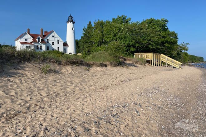
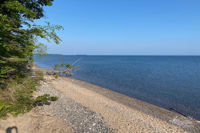
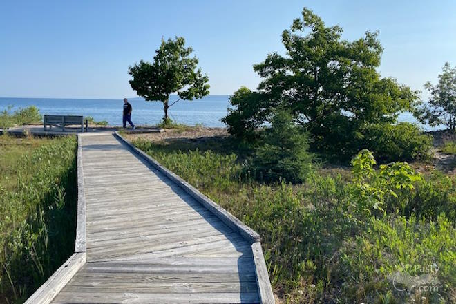
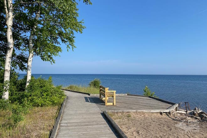
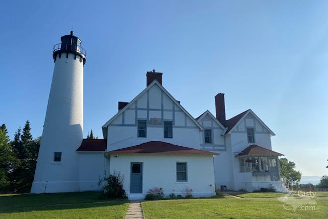
Point Iroquois is today’s scenic tour. Cindy said they started with an early morning visit to the Lighthouse campus. The building was not open, but she said they were they only ones there for a while. They enjoyed the beautiful stonework and landscaping of the grounds, but felt that the best part was the extensive boardwalk trail through the dunes, along with the access to the spectacular Lake Superior beach. Cindy felt the bonus view of the Lighthouse from the shoreline, with the stairway to the beach was one of the best shots, but there were many scenic views along the boardwalks, too.
I found some interesting info about the Lighthouse and the Point on the Forest Service webpage. Below is just an excerpt from the page, but if you click on the link you can read more about the Point history:
“In 1975, the Point Iroquois Lighthouse was placed on the National Register of Historic Places. The Lightstation stands high above the waters of Lake Superior at the entry to St. Mary’s River. It served passing sailors by marking the narrow channel.
The name Point Iroquois references a battle that took place in 1662 between the local Ojibwa (also known as the Chippewa or Anishinaabeg) and an invading Iroquois war party. The Iroquois had invaded the area in an attempt to gain influence and dominate the fur trade, but the Ojibwa were able to defeat the Iroquois war party, thus halting their westward expansion. According to the Indian agent of scholar, Henry Rowe Schoolcraft, the Ojibwa called Point Iroquois ‘Nau-do-we-e-gun-ing’, which in their native language meant ‘Place of Iroquois Bones’.”
Since we’re in the Sault Ste. Marie area already, I thought this walkabout video from MI Playground would be a good addition. The tour starts downtown near the Locks and ends at Rotary park, a 3.5 mile stretch full of things to do along the St. Mary’s River and is a must for any freighter fan or boat nerd to get up close views of Great Lakes freighters.
