By Mary Drew at Pasty Central (Mdrew) on Friday, July 6, 2018 - 04:03 pm:
Depending what shore you’re on when it comes to Lake Superior, it can be vastly different. Today’s archive photos, even though taken in different spots along Superior’s coastline, are all pretty similar...mostly because they’re all along the Keweenaw, near the tip. Our first shot was snapped in 2006, by Michael Musiel as a fog bank was rolling in at Eagle Harbor. It doesn’t take long when that happens for the fog to engulf everything in sight.
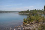
In 2007, we joined Kevin Henriksen over on Isle Royale, where he was hiking around Mott Island and snapped the second photo. It doesn’t look all that different from the shoreline around Eagle Harbor, mostly large rock and trees. Considering there’s only about 40 miles of water in between these two spots, that’s no surprise, really.
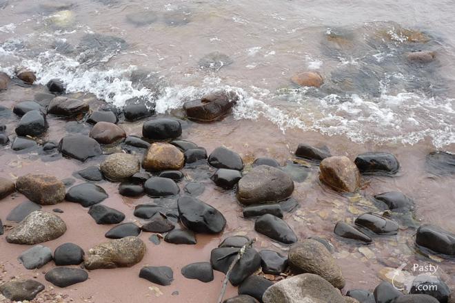
We fast forward to 2015, heading just a bit north of our first photo, closer to Copper Harbor, with Joe Kirkish. He was wondering that year, what the yellow substance he was seeing along the shore near his cottage was. The consensus from the viewers that day, was that is was most likely pollen from pine trees in the area. Again, note the rocky shoreline, similar to the above photos, too.
If you’ve never had the chance to go backpacking on Isle Royale, we have a treat for you today. We’re joining Christian Blatner and friend on a five-day, six-night backpacking adventure. Best part is no blisters on your feet and no bugs buzzing your head. Enjoy the beauty of this remote National Park!
By Alex "UP-Goldwinger" (Alex) on Friday, July 6, 2018 - 04:38 pm:
Excellent pix and video...does it get any better than that?
By jbuck (Jbuck) on Friday, July 6, 2018 - 07:55 pm:
Great video! Looks like they had a good time all the
way around!


 Printed on Recycled Internet
