By D. A. (Midwested) on Wednesday, August 8, 2018 - 10:01 pm:
Thanks FRNash.
I keep trying to outdo myself. There's just so much material to work with.
jbuck,
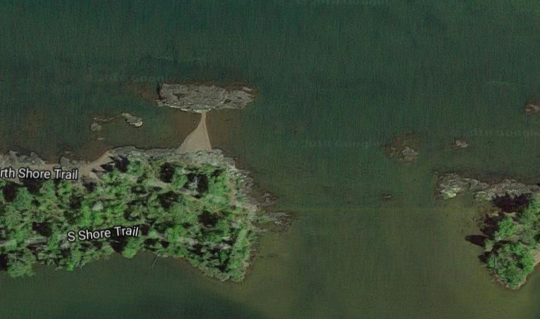
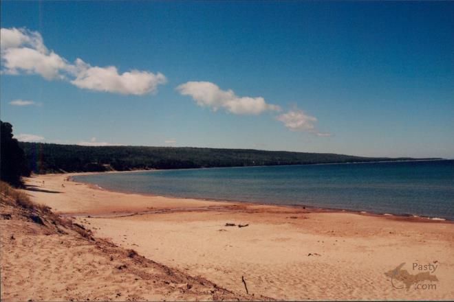
It does look like Mother Superior is attempting to create one to connect Little Presque Isle to the mainland. I did not know it gets exposed from time to time. Presque Isle Park is a very good example of an old one. Other examples are:
- The southeast side of Grand Island by Munising
- Pequaming north of L'Anse
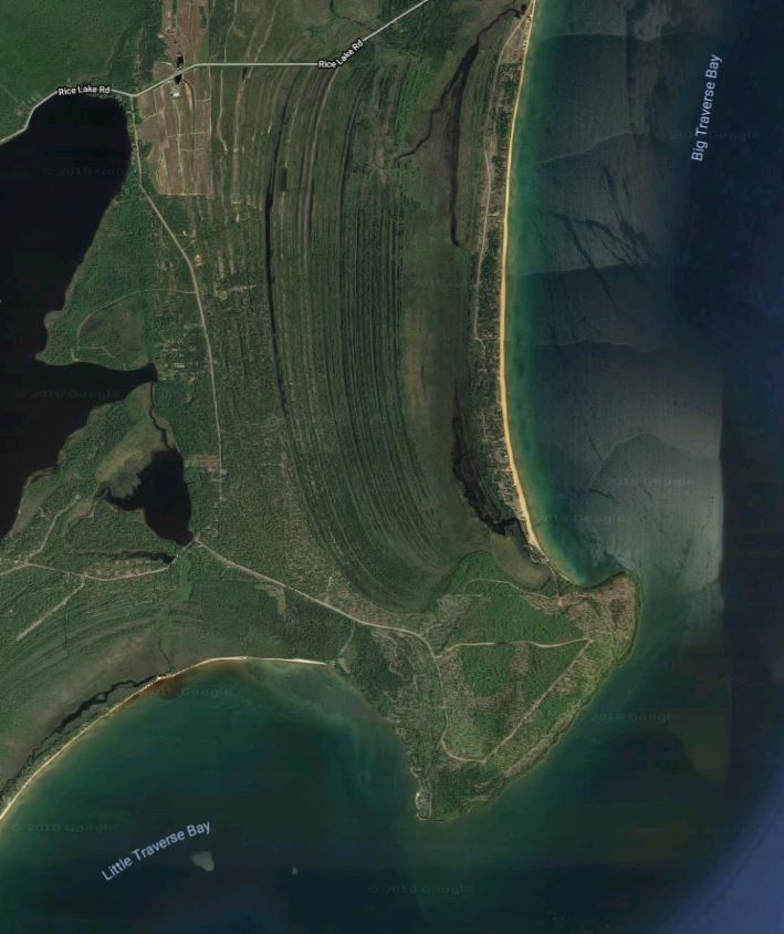
- Closer to home, there is a large, unnamed one containing Traverse Point and Louis Point that separates Big Traverse Bay from Little Traverse Bay.
They are created by wind and waves that move sand and sediment in between an island and the mainland. In this Google Earth photo of Big and Little Traverse Bays by Rice Lake, one can see the remnants the dozens of old shorelines that helped to fill in and create the isthmus of the tombolo.
By jbuck (Jbuck) on Thursday, August 9, 2018 - 02:18 pm:
D. A. (Midwested),
Yes, when i attended NMU back in the mid 70's you
could walk out to Little Presque Isle. The Lake
level was quite low then. The tombolo wasn't much
above the lake level even back then, but enough to be
dry when the waves weren't high. Thanks again for
the interesting education ~ glad you mentioned it!


 Printed on Recycled Internet